Skip to header Skip to Content Skip to Footer
Cannons overlooking water

GIS, Remote Sensing & UAS, Post-Baccalaureate Certificate

Practical Application of GIS Techniques
  • 29%

    Projected Growth in the Field of Cartography & Photogrammetry 2014-2024 (U.S. Bureau of Labor Statistics)

  • 35%

    Annual Growth Rate in the Geospatial Technology Industry (U.S. Department of Labor Employment and Training Administration)

  • 11%

    Annual Growth Rate for the Global GIS Market 2015-20

GIS, Remote Sensing & UAS, Post-Baccalaureate Certificate Program Overview
I can't begin to describe how far ahead the drone program at UNCW is compared to the other schools some of these applicants are applying from. You guys 100% are the gold standard for the type of drone work that most/all industries are looking for.
Steele Olsen '19 Operations Manager at Firmatek LLC

Learn To

Gain a mixture of theory and practical knowledge

Acquire technical expertise to support knowledge gained in other graduate programs

Acquire expertise to further their current and/or future job requirements

Employ a balanced combination of theory of spatial concepts and practical application of GIScience techniques to spatial problems in your field of study

Alumni work in:

Interpret maps, manages GIS databases, and provides insight into digital land data. (Source)

Collect, measure, and interpret geographic information to create and update maps and charts for regional planning, education, and other purposes. (Source)

Update boundary lines and prepare sites for construction so that legal disputes are prevented. (Source)

Train and utilize specialized skills to conduct air reconnaissance, surveillance, targeting missions, and analyze aerial photographs. (Source)

Meet with public officials, developers, and the public regarding development plans and land use. (Source)

  • Related Programs

    Geology, B.S.

    The B.S. in geology is designed for students intending to pursue advanced studies in geology or who intend to pursue licensure as a professional geologist.

    Learn More 

    Geosciences, B.A.

    Focuses on the scientific study of Earth; forces acting upon and within it; and the makeup and behavior of the solids, liquids, and gases comprising the planet.

    Learn More

    Oceanography, B.S.

    Pursue a professional, research or academic career in ocean science.

    Learn More

    Geography and Geospatial Sciences, B.A.

    Receive hands-on, applied learning opportunities in mapping technology, computer mapping techniques, analyzing spatial data from a variety of perspectives and to solve problems from local to global scales.

    Learn More

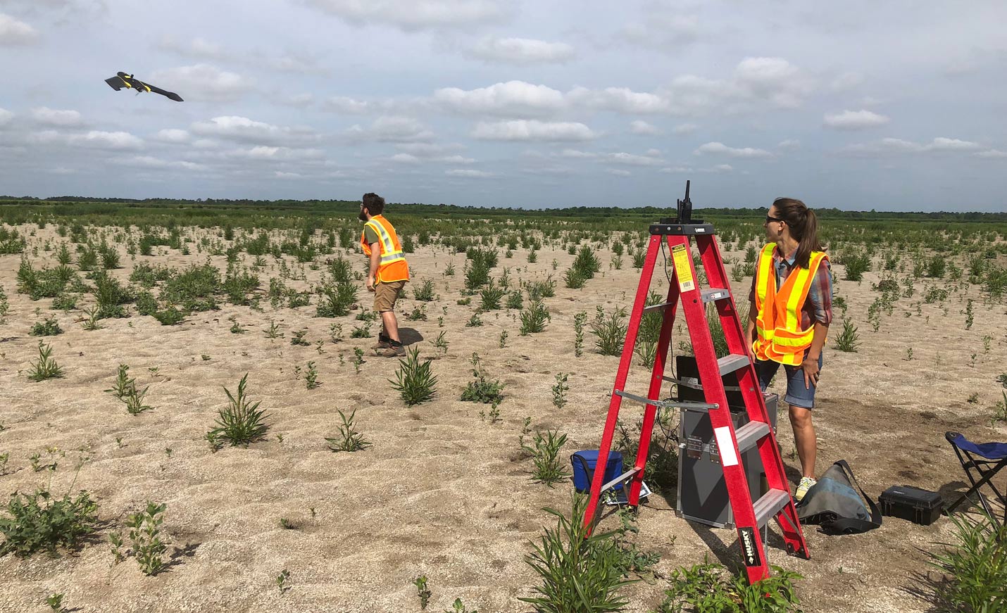
    GIS, Remote Sensing & UAS Minor

    Many students who major in geography, environmental studies, geology, and many others also enroll in the GIS, remote sensing & UAS minor. 

    Learn MOre

    GEOINT Certification

    Students who meet the requirements for a geography major; GIS, remote sensing & UAS minor; or who are earning the graduate GIS certificate are eligible for this external accreditation.

    Learn More

  • Geoscience, M.S.

    Learn to conduct research and applied work in the geosciences through the broad study of modern and ancient Earth and ocean processes as well as human-environment interactions.

    Learn More