Skip to header Skip to Content Skip to Footer
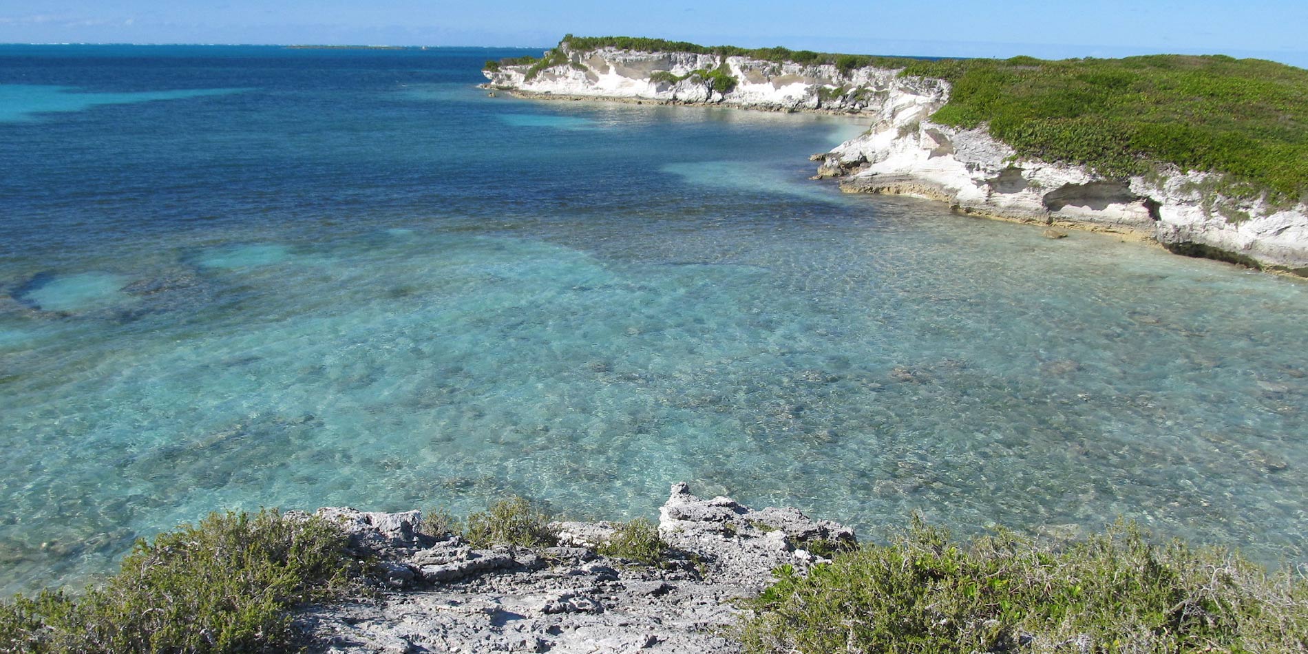
Cliffs over water

Geography & Geospatial Sciences, B.A.

Geography and Geospatial Sciences, B.A. Program Overview
Working directly with key players who utilized and applied such knowledge daily elevated the learning experience to an entirely new level, and I'm glad I took advantage of the opportunity.
Geography and Geospatial Sciences, B.A. Student
program completion feature

Learn To

Design a map that clearly demonstrates a geographic pattern or process and read and explain information displayed on specialized thematic maps

Collect data and information related to geographic problems and manipulate geographic information in digital formats

Critically assess the format, value, and limitations of various data and information sources

Determine and explain how a general geographic model or concept applies to a specific place, culture, or environmental system

Deliver an oral presentation that clearly explains geographical methods and concepts

Our alumni are:

Produce data layers, maps, graphs, and reports using GIS technology.

Measure, record, or evaluate geological data, using sonic, electronic, electrical, seismic, or gravity-measuring instruments to prospect for oil or gas.

Collect, measure, and interpret geographic information in order to create and update maps and charts for regional planning, education, and other purposes.

Determine the data a project calls for, typically on behalf of surveyors, engineers, and remote sensing scientists.

Study the weather and climate.

Collect soil data, consultation, investigation, evaluation, interpretation, planning or inspection relating to soil science.

Evaluate scientific data and research about the climate.

Professionals who plan the uses of land within cities and communities based on what those communities need.

top