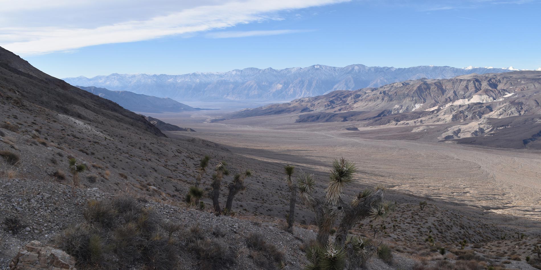


Geosciences, B.A.
Focuses on the scientific study of Earth, forces acting on and within it, and the makeup and behavior of the solids, liquids and gases comprising the planet.
Geology
Focuses on the scientific study of Earth, common rocks and minerals, processes that form and alter basic Earth materials, and key events in the geologic evolution of the planet.
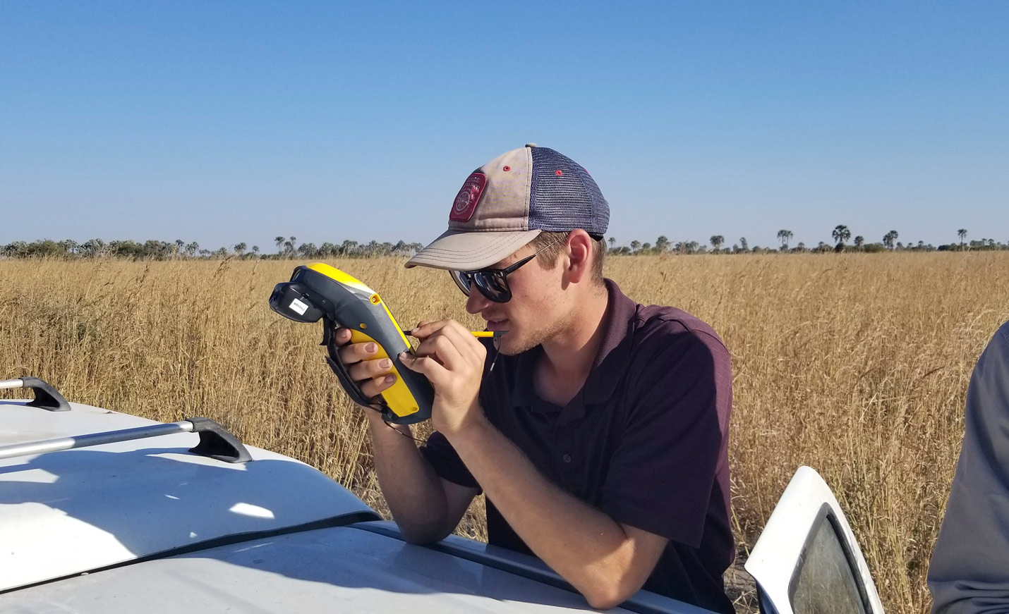
Oceanography
Pursue a professional, research or academic career in ocean science.