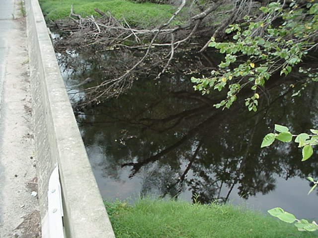
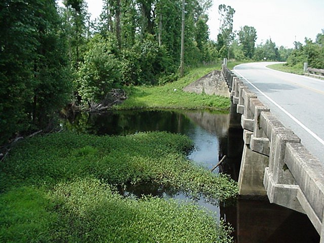
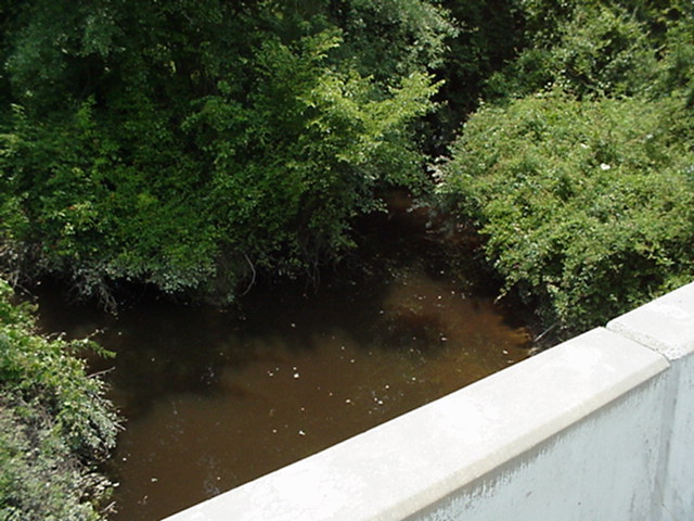
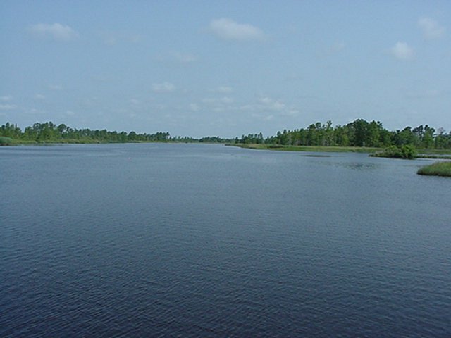
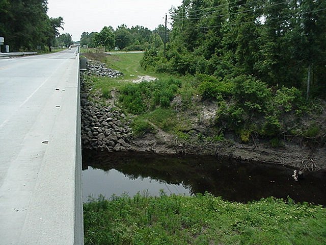
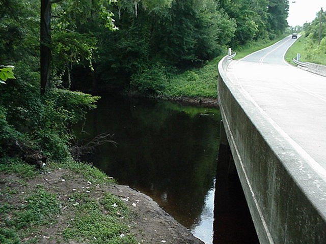
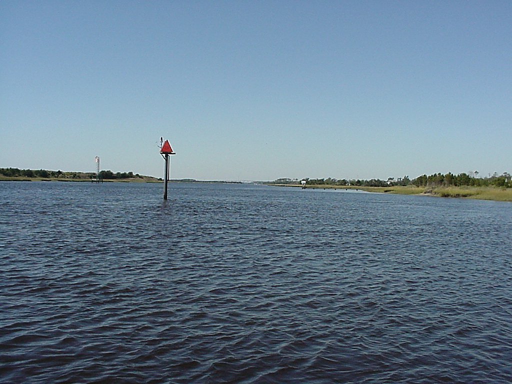
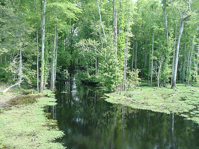
Stations
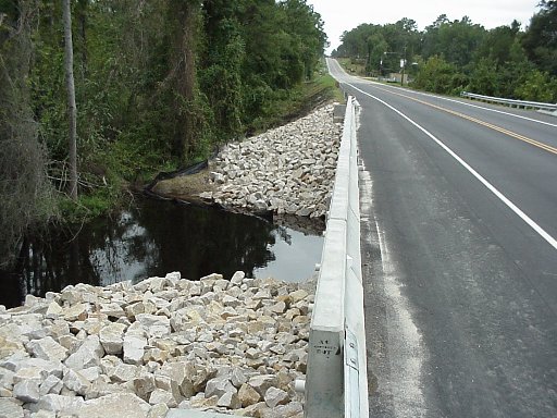
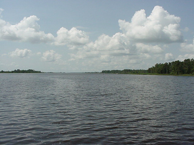
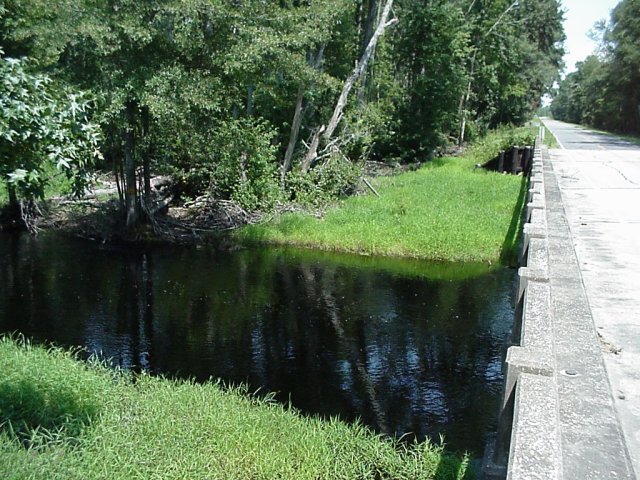
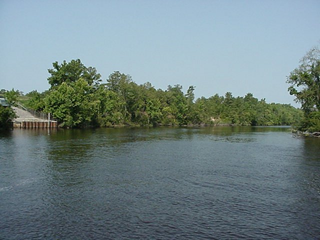
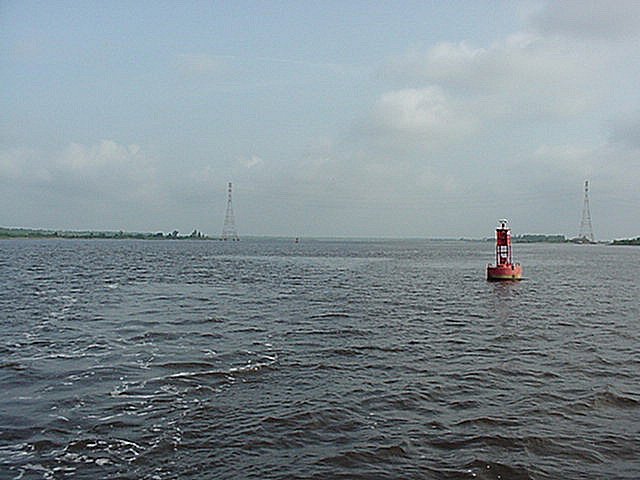
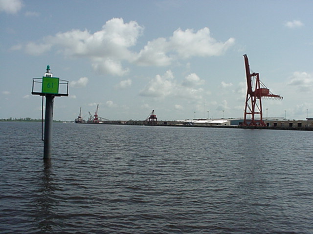
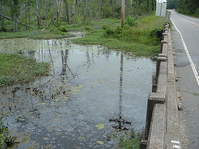
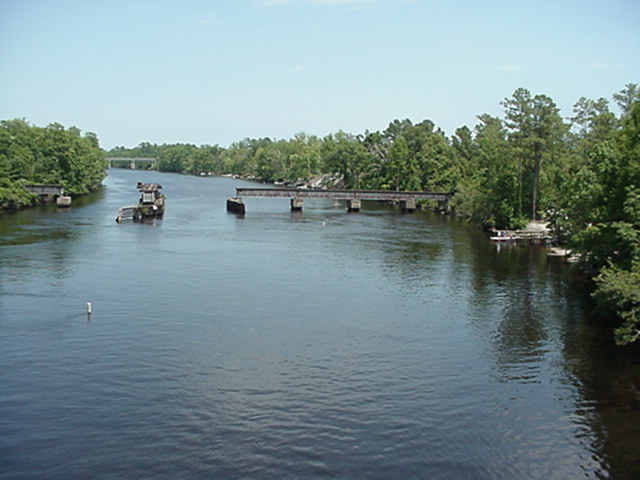
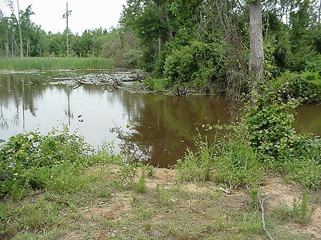
The Monitoring stations provide an effective and efficient means for assessing water quality and environmental assessment program covering the Cape Fear River Estuary and a large portion of the lower Cape Fear River watershed. The first group of monitoring stations were started in 1995.
Lower Cape Fear River Program Current Monitoring Stations
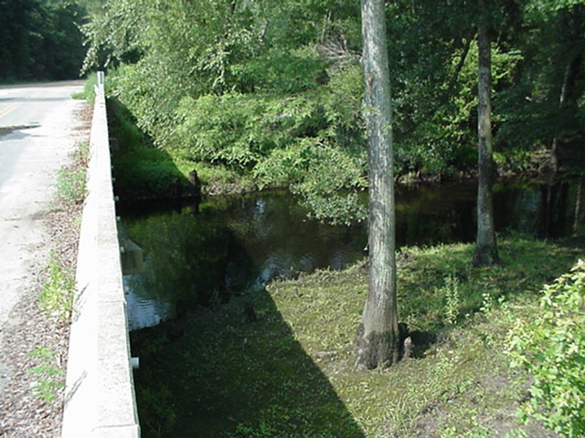
NC Division of Water Quality # B8740000
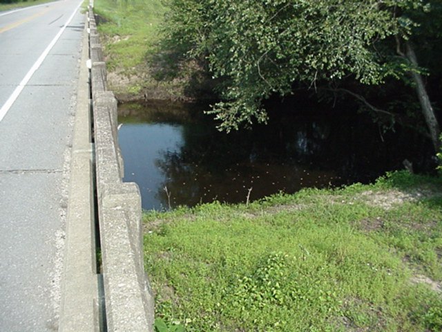
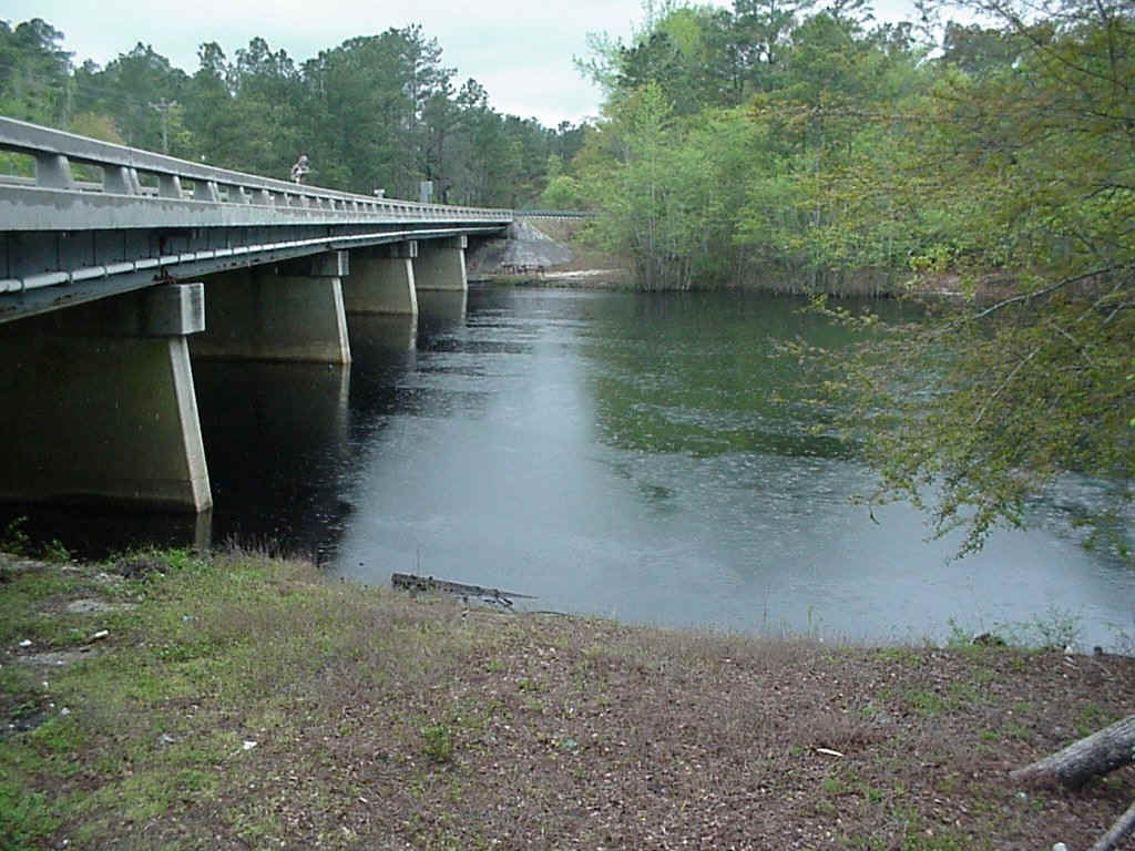
- Location: Six Runs Creek at State Road 1003 bridge
- Lat/Lon: N 34 47.614 W 78 18.715
- Sampling Relevance: Concentrated animal operations in watershed
- Data collection: February 1996 to present
NC Division of Water Quality # B8450000
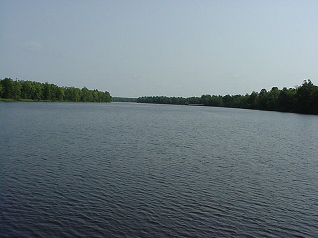
- Location: Cape Fear River near Acme, 5 km below International Paper
- Lat/Lon: N 34 21.328 W 78 10.765
- Sampling Relevance: Below International Paper discharge
- Data collection: June 1995 to present
NC Division of Water Quality # B9490000
- Location: Angola Creek at NC Highway 53 bridge
- Lat/Lon: N 34 39.423 W 77 44.091
- Sampling Relevance: DWQ ambient and benthic location
- Data collection: February 1996 to present
NC Division of Water Quality # B9000000
- Location: Black River at NC Highway 210 bridge
- Lat/Lon: N 34 25.883 W 78 08.677
- Sampling Relevance: Indicates Black River input, above Thoroughfare
- Data collection: June 1995 to present
Not a North Carolina Division of Water Quality Station
- Location: Black River between Thoroughfare and Cape Fear River
- Lat/Lon: N 34 21.086 W 78 02.956
- Sampling Relevance: Influenced by Black River and Cape Fear River
- Data collection: June 1995 to present
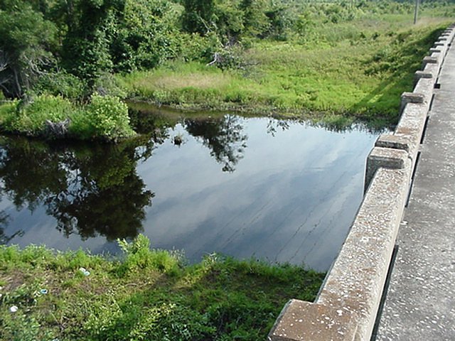
NC Division of Water Quality # B9520000
- Location: Burgaw Canal at US 117
- Lat/Lon: N 34 33.842 W 77 55.320
- Sampling Relevance: Below Burgaw waste water treatment plant, urban nonpoint sources
- Data collection: February 1996 to December 2012
NC Division of Water Quality # B9500000
- Location: Burgaw Canal near the old RR track
- Lat/Lon: N 34 33.842 W 77 56.062
- Sampling Relevance: Above Burgaw waste water treatment plant discharge
- Data collection: February 1996 to December 2012
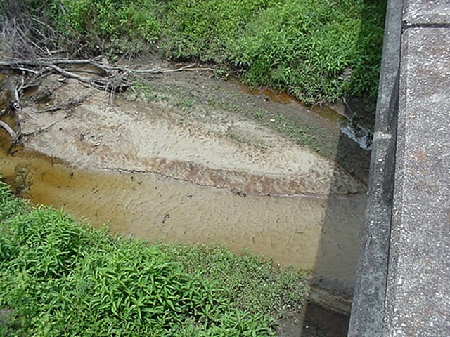
NC Division of Water Quality # B8340050
- Location: Browns Creek at NC Highway 87
- Lat/Lon: N 34 36.816 W 78 35.077
- Sampling Relevance: Hog operations in watershed
- Data collection: February 1996 to present
NC Division of Water Quality # B9790000
- Location: Brunswick River near boat ramp in Belville
- Lat/Lon: N 34 13.283 W 77 58.721
- Sampling relevance: Sturgeon area, Near Belville WWTP
- Data collection: February 1996 to present
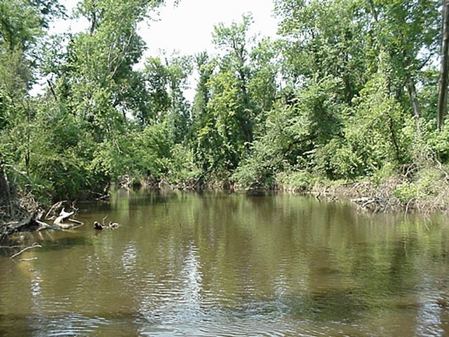
NC Division of Water Quality # B8981000
- Location: Colly Creek at NC Highway 53 bridge
- Lat/Lon: N 34 27.900 W 78 15.392
- Sampling Relevance: Pristine swamp reference site
- Data collection: February 1996 to present
NC Division of Water Quality # B8465000
- Location: Cape Fear River at DAK Intake near Hooper Hill
- Lat/Lon: N 34 20.157 W 78 03.202
- Sampling relevance: At dissolved oxygen sag from International Paper, above Black River
- Data collection: June 1997 to present
NC Division of Water Quality # 8604000
- Location: Great Coharie Creek at SR 1214 bridge
- Lat/Lon: N 34 55.114 W 78 23.324
- Sampling Relevance: Downstream of Clinton WWTP
- Data collection: February 1996 to present
NC Division of Water Quality # B9191000
- Location: Goshen Swamp at NC Highway 903 bridge
- Lat/Lon: N 35 01.896 W 77 50.952
- Sampling Relevance: Swamp reference site with Agriculture in watershed
- Data collection: February 1996 to present
NC Division of Water Quality # B8340200
- Location: Hammond Creek at SR 1704 bridge
- Lat/Lon: N 34 34.112 W 78 33.088
- Sampling Relevance: Hog operations in watershed
- Data collection: February 1996 to present
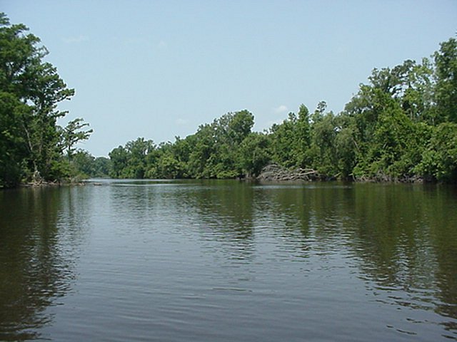
NC Division of Water Quality # B9050100
- Location: Cape Fear River at South end of Horseshoe Bend, 5 km above Wilmington
- Lat/Lon: N 34 14.623 W 77 58.188
- Sampling Relevance: Above confluence with Northeast Cape Fear River
- Data collection: June 1995 to present
NC Division of Water Quality # B9030000
- Location: Cape Fear River 3 km above Indian Creek
- Lat/Lon: N 34 18.124 W 78 00.823
- Sampling Relevance: Cluster of dischargers
- Data collection: June 1995 to present
NC Division of Water Quality # B8610001
- Location: Little Coharie Creek at SR 1207 bridge
- Lat/Lon: N 34 50.084 W 78 22.252
- Sampling Relevance: Hog operations in watershed
- Data collection: February 1996 to present
NC Division of Water Quality # B9460000
- Location: Little Rockfish Creek at NC 11
- Lat/Lon: N 34 43.365 W 77 58.892
- Sampling Relevance: DWQ benthic sampling site
- Data collection: February 1996 to present
NC Division of Water Quality #B8441000
- Location: Livingston Creek at Wright Chemical sampling walkway
- Lat/Lon: N 34 220.118 W 78 12.066
- Sampling Relevance: Below Wright Chemical Plant
- Data collection: January 2005 to June 2015
NC Division of Water Quality # B9921000
- Location: Cape Fear River near Southport
- Lat/Lon: N 33 54.778 W 78 01.018
- Sampling Relevance: Lower end of the estuary
- Data collection: June 1995 to present
NC Division of Water Quality # B9910000
- Location: On the Cape Fear River, at Snow's Marsh
- Lat/Lon: N 33 56.736 W 77 58.175
- Sampling Relevance: Near CP&L intake canal area at Snows Marsh
- Data collection: June 1995 to present
NC Division of Water Quality # B9850100
- Location: Cape Fear River near Sunny Point/Old Brunswick Town
- Lat/Lon: N 34 02.045 W 77 56.366
- Sampling Relevance: Adjacent to Snow's Cut
- Data collection: June 1995 to present
NC Division of Water Quality # B9845100
- Location: Cape Fear River near Keg Island
- Lat/Lon: N 34 05.410 W 77 56.013
- Sampling relevance: Upstream of Snow's Cut, middle of estuary
- Data collection: June 1995 to June 2011
NC Division of Water Quality # B9795000
- Location: Cape Fear River near Town Creek area
- Lat/Lon: N 34 08.360 W 77 56.757
- Sampling Relevance: Below Wilmington, middle of estuary
- Data collection: June 1995 to present
NC Division of Water Quality # B9800000
- Location: Cape Fear River, downtown at the State Port
- Lat/Lon: N 34 11.626 W 77 57.435
- Sampling Relevance: Downstream of confluence of the Cape Fear River and the Northeast Cape Fear River
- Data collection: June 1995 to present
NC Division of Water Quality # B9050025
- Location: Cape Fear River near Navassa
- Lat/Lon: N 34 15.566 W 77 59.260
- Sampling Relevance: Downstream of Progress Energy steam plant and Leland Ind. Park
- Data collection: June 1995 to present
NC Division of Water Quality # B8360000
- Location: Cape Fear River at NC Highway 11 bridge
- Lat/Lon: N 34 23.798 W 78 16.071
- Sampling Relevance: Represents water entering the lower watershed from upstream
- Data collection: June 1995 to present
NC Division of Water Quality # B9090000
- Location: Northeast Cape Fear River
- Lat/Lon: N 35 10.704 W 77 58.842
- Sampling Relevance: Below Mt. Olive Pickle Plant and WWTP
- Data collection: June 1997 to present
NC Division of Water Quality # B9580000
- Location: North East Cape Fear River near Castle Hayne
- Lat/Lon: N 34 21.805 W 77 53.807
- Sampling Relevance: DWQ ambient site, Downstream Elementic Chromium
- Data collection: June 1995 to present
NC Division of Water Quality # B9670000
- Location: Northeast Cape Fear River, 6.4 miles upstream of Wilmington
- Lat/Lon: N 34 19.026 W 77 57.230
- Sampling Relevance: Near GE
- Data collection: June 1995 to present
NC Division of Water Quality # B9130000
- Location: Panther Creek, at Dean's Foods access road
- Lat/Lon: N 35 08.067 W 78 08.178
- Sampling Relevance: Below Dean's Foods (Pickle Plant)
- Data collection: February 1996 to present
NC Division of Water Quality # B9430000
- Location: Rockfish Creek near US 117
- Lat/Lon: N 34 43.035 W 77 58.763
- Sampling Relevance: Agriculture in watershed, above Little Rockfish Ck.
- Data collection: February 1996 to present
NC Division of Water Quality # BB9191500
- Location: Northeast Cape Fear River near Sarecta
- Lat/Lon: N 34 58.806 W 77 51.732
- Sampling Relevance: Below Guilford Mills and Cogentrix
- Data collection: February 1996 to present
NC Division of Water Quality # B9720000
- Location: Smith Creek at highway N117 bridge
- Lat/Lon: N 34 15.516 W 77 56.346
- Sampling Relevance: Near mouth of creek
- Data collection: 2004 to present
NC Division of Water Quality # B9980000
- Location: 1000 ft W of Southport waste water treatment plant, on Intracoastal Waterway
- Lat/Lon: N 33 55.025 W 78 02.230
- Sampling Relevance: Upstream of Southport WWTP
- Data collection: March 1998 to June 2011
NC Division of Water Quality # B8470000
- Location: On South River near US 13
- Lat/Lon: N 35 09.360 W 78 38.408
- Sampling Relevance: Below Dunn runoff
- Data collection: February 1996 to present