
The Planet Ocean Seminar Series is free and open to the public. Seminars are currently run as both in-person and virtual events, so registration is required. Once you register to attend virtually, you will receive the link to join the webinar. For further information, please call the UNCW Center for Marine Science at 910.962.2301.
2025-26 Series
Apr. 14, 2026
Exploring Fish Diversity Across North Carolina's Reef Ecosystems
with Dr. Matthew McLean
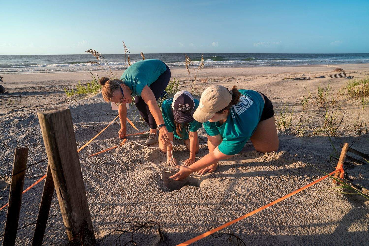
Fish and fisheries contribute nearly $4 billion each year to North Carolina's economy, making it critical to understand, manage, and conserve coastal ecosystems. Reef ecosystems like rocky ledges and shipwrecks are especially important because many fish species depend on reef habitat at some stage of their life for feeding or reproduction. Reef ecosystems cover less than 5% of North Carolina's seafloor, making them both potentially vulnerable to environmental changes, but also poorly studied and understood. Using scuba-diver surveys of reef ecosystems alongside a decade-old historical database, we have begun exploring how fish communities are changing on North Carolina's reefs. We are also uncovering the influence that local environmental conditions have on fish diversity, abundance, and productivity. Dr. McLean will share some initial key findings and discuss his lab’s ongoing work. This research will ultimately help state and federal agencies anticipate future changes to fish diversity and optimize artificial reef design and placement.
Dr. Matthew McLean is a marine ecologist who studies how fish communities respond to changes in environmental conditions to guide conservation and resource management. Much of his work focuses on reef ecosystems using scientific diver surveys. He is an Assistant Professor in the Department of Biology and Marine Biology at the University of North Carolina Wilmington. He completed a BSc in Ecology at the University of Wisconsin - Eau Claire, a MSc in Biology at the University of Guam Marine Laboratory, a PhD in Marine Ecology at the French Research Institute for Exploitation of the Sea, and postdoctoral training at Dalhousie University in Halifax, Nova Scotia.
WATCH THE RECORDED SEMINAR
Feb. 10, 2026
Reinventing Resilience: Where Do We Go From Here?
with Dr. Jessica Whitehead
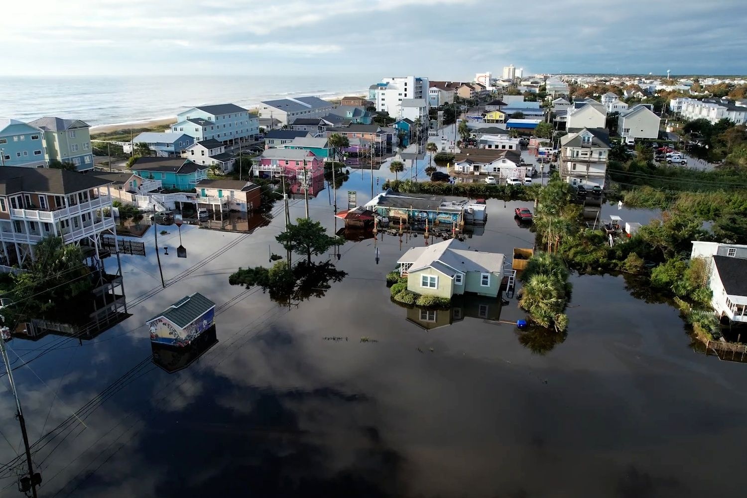
As we navigate an era marked by climate uncertainties and increasing natural hazards, the quest for resilience remains crucial—especially for communities in North Carolina and the Southeast. Disaster recoveries are long and challenging, but so too is imagining what a truly resilient and adaptable community of the future looks like. Despite extensive planning and projects, vulnerabilities persist and risks loom large.
In this talk, Dr. Jessica Whitehead will explore the idea of transformative adaptation and discuss how pathways to implementing that future redefine resilience in ways that speak to the heart of our communities' challenges. Learn how we can move beyond traditional approaches, embracing innovative strategies that integrate economic, social, and environmental aspects to build a more robust defense against future adversities.
This presentation is not just an exploration of ideas but a call to action—to harness our collective knowledge, resources, and determination to create lasting change. Whether you’re a policymaker, business leader, or concerned citizen, this talk will equip you with the insights needed to drive resilience forward.
Dr. Whitehead is the Joan P. Brock Endowed Executive Director of the Institute for Coastal Adaptation and Resilience (ICAR) at Old Dominion University. A nationally recognized expert in climate adaptation and using climate information for resilience policy, Dr. Whitehead served the U.S. Global Change Research Program as the chapter lead author for the Northeast Chapter of the Fifth U.S. National Climate Assessment, released in November 2023. Previously, Dr. Whitehead worked in North Carolina for 11 years as the first coastal climate extension specialist with NC Sea Grant, the South Carolina Sea Grant Consortium, and the Carolinas Integrated Sciences and Assessments (CISA) Program; in 2019 she was appointed the first state Chief Resilience Officer for North Carolina, based in the NC Office of Recovery and Resiliency in the Department of Public Safety. She earned her Doctor of Philosophy in geography and Master of Science in meteorology from The Pennsylvania State University and a Bachelor of Science in physics with a concentration in meteorology from the College of Charleston. Her work helping coastal communities in the Carolinas adapt to climate change has been featured in podcasts, books, newspapers, television, and public radio, including the Washington Post, the New York Times, E&E News, and The Weather Channel.
Learn more about ICAR at: www.oduadaptationandresilience.org.
Nov. 11, 2025
Opening Pandora’s Box and the Ethics of Science: A History of Genetic Engineering Debates
with Dr. Nathan P. Crowe
How does research sit at the intersection of biology, technology, and culture in the modern world? Research covers not only scientific development but the social, cultural, ethical, and political discussions that such developments generate and the political and social contexts in which they emerge.
Explore how the history of twentieth-century biosciences can inform the responsible development and use of modern and future biotechnologies. Crowe’s current projects examine the memory and memorialization of biotechnologies, the post–World War II history of developmental biology, and the ethical and environmental challenges arising from contemporary research in marine biotechnology.
Nathan Crowe received his Ph.D. in History of Science, Technology, and Medicine from the University of Minnesota. He teaches a wide variety of courses related the history of science, technology, medicine, and health humanities as well as courses on historical methodology. Crowe has received numerous teaching awards including the Board of Trustees Teaching Excellence award, the Distinguished Professor of Teaching award, Chancellor’s Teaching Excellence award and the Disc ere Aude award for outstanding student mentoring.
Sept. 9, 2025
Lessons Learned from Hurricane Helene,
Messaging Challenges, and the 2025 Hurricane Season
with Steven Pfaff
National Weather Service - Wilmington, NC Office
In our first Planet Ocean Seminar of the 2025-26 season, Steve Pfaff will share lessons learned from Hurricane Helene's catastrophic impacts, and messaging challenges that could impact public safety during tropical cyclone events. In addition, Steve will discuss the 2025 outlook, and why it is projected to yield above normal tropical cyclone activity.
Steve has served as the Meteorologist-in-Charge (MIC) at the National Weather Service (NWS) office in Wilmington, NC since February 2024. Prior to becoming MIC, Steve was NWS Wilmington's Warning Coordination Meteorologist from May 2008 through Feb 2024. He first arrived at NWS Wilmington, NC as a Senior Forecaster in 1998. Steve was also a Journeyman Forecaster and Meteorologist Intern at NWS Corpus Christi, TX from 1994-1998.
2024-25 Series
Feb. 11, 2025
Axial Seamount, the Pacific Northwest's Most Active Undersea Volcano
with Dr. Scott Nooner, Professor in Earth & Ocean Sciences
Nov. 12, 2024
The Surface Water and Ocean Topography Mission:
NASA's New Eye in the Sky for Earth's Water
with Dr. Tamlin Pavelsky
Sept. 10, 2024
The Long-Lost Nile Branch May Help Solve the Riddle
Surrounding the Placement of the Largest Egyptian Pyramids Field
with Dr. Eman Ghoneim
2023-24 Series
Apr. 9, 2024
Emerging Challenges for Coastal Birds:
Sea Level Rise, Heat, and Disturbance
with Dr. Ray Danner
watch recorded webinar
Feb. 13, 2024
Robotic Oceanography:
Expanding the Impact from Science to Decision-Making
with Dr. Catherine Edwards
watch recorded webinar
Nov. 14, 2023
Sensory Systems to Self-Driving Cars:
Science at the Intersection of Mechanism, Theory, and Opportunity
with Dr. Lorian Schweikert
Dr. Schweikert's Lab
Sep. 12, 2023
An Overview of Marine Mammal Research at UNCW
with Dr. Michael Tift
2022-2023 Series
April 18, 2023
Conservation in a Changing Climate: Impacts on Seagrass Resiliency and Restoration
with Drs. Jessie Jarvis and Stephanie Kamel
Watch recorded seminar
Feb. 7, 2023
The Climate Crisis: Where We Are, What We Can Do
with Dr. Maureen Raymo
Nov. 15, 2022
Ten Things I Learned from Studying the Deepwater Horizon Oil Spill for a Decade
with Dr. Steven A. Murawski
WATCH RECORDED SEMINAR
Sept. 13, 2022
A Tale of Two Brothers: Art Meets Science in the Open Sea
with Dr. Sönke Johnsen
WATCH RECORDED SEMINAR
VIEW PREVIOUS PLANET OCEAN TOPICS