

CORMP’s Real-Time Data Aids Storm Tracking, Forecasting
June kicked off the start of the 2023 hurricane season, and UNCW's Coastal Ocean Research and Monitoring Program team is busy ensuring its buoys and systems are ready to provide critical information on storms in the Atlantic Ocean.
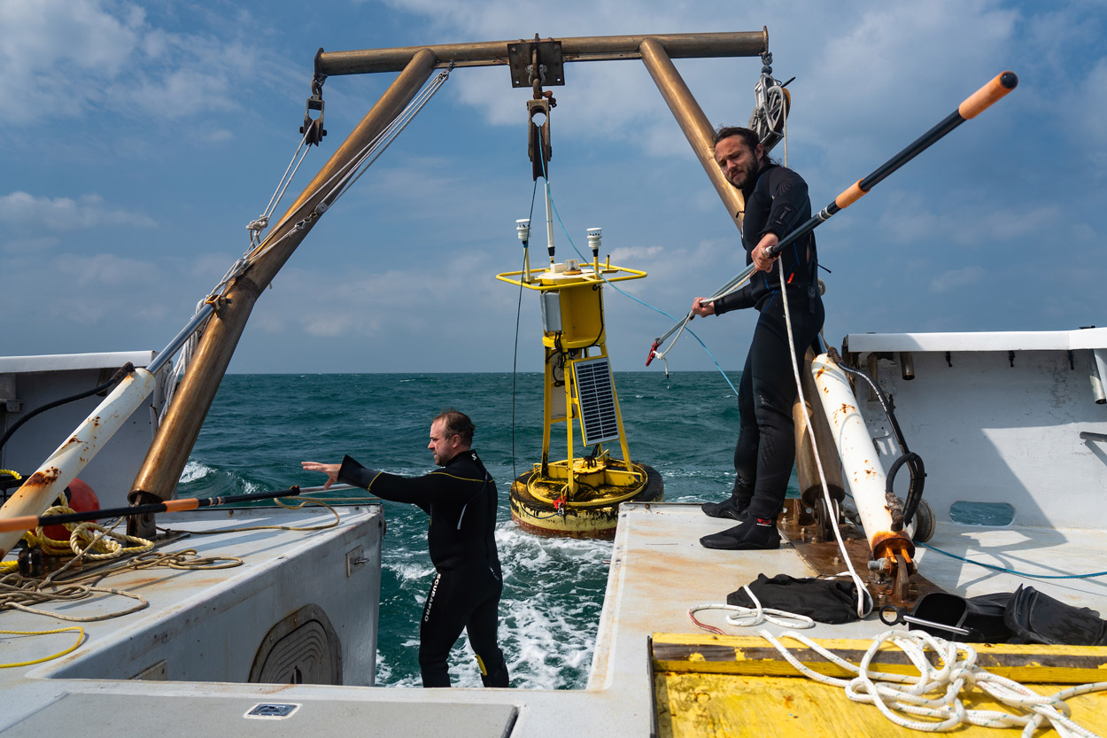
For more than two decades, CORMP has gathered valuable weather and oceanographic data to improve maritime safety, forecast coastal hazards and understand local coastal climate patterns. The program operates nine mooring stations along the coasts of North Carolina and South Carolina and will expand to Florida.
"Our data and use-inspired products provide a critical service in that they help government agencies, coastal communities, industry users, and the public anticipate threats to life, economic activity, marine transportation, and coastal infrastructure," said Dr. Lynn Leonard, associate director for research and innovation at UNCW's Center for Marine Science and CORMP director.
The National Weather Service, National Data Buoy Center and National Hurricane Center all use the program’s real-time observations to aid local weather service offices in anticipating possible changes in storm track and to forecast storm-induced hazards. North Carolina averages one hurricane making landfall every 3.25 years, according to NC Department of Natural Resources data.
"Losing all or key components of the CORMP network would impact public safety,” said Steve Pfaff, warning coordination meteorologist with the NOAA National Weather Service Wilmington Weather Forecast Office. “The maritime observational network enables the weather service in multiple ways – from monitoring severe storms, hurricanes and nor'easters to validating rip current and marine forecasts.”
CORMP has been funded to deploy weather and wave buoys along the Florida coast in spring 2024. One system will assist the National Weather Service's Melbourne office with real-time coastal ocean observations between Cape Canaveral and St. Augustine. The second system will provide information for recreational beach users, artificial reef studies and contaminant transport studies.
The program has also launched a new situational awareness tool (SAST) that allows access to custom thresholds for any combination of CORMP in-situ parameters. For example, the National Weather Service has configured alerts to coincide with the conditions associated with small craft advisories, and has used water level data to validate flood watches and warnings, said Leonard.
"According to NWS meteorologists, forecasting has improved because CORMP has increased the number of observations, especially filling gaps where data are sparse," Leonard added. "NWS forecasters trust the reliability of CORMP data because it adheres to national data-quality standards."
Individuals interested in helping to evaluate SAST or providing feedback about CORMP can contact info@cormp.org. CORMP users can support the program by making gifts to the UNCW Coastal Ocean Research and Monitoring Program Support Fund.
This article has the following tags: Research & Innovation myUNCW Engagement