GIS and Remote Sensing
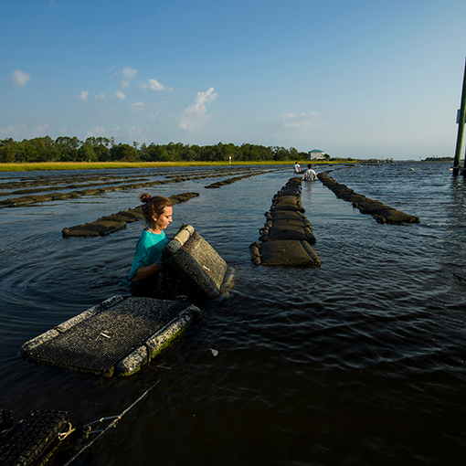
Several faculty in the department have expertise in the use of Geographic Information Systems (GIS) and cartography asessential tools for the analysis and visualization of the inherently spatial information behind all geoscience disciplines. Examples of on-going research include seabed classification and modelling of underwater habitats off the coast of Florida and SE North Carolina, mapping of historic oyster reefs in the Cape Fear River, modelling the temporal changes in marshes, investigating the community distributions of bottlenose dolphins, land use and land cover change in southern and eastern African savannas, and human-environment interactions research in lesser developing nations. In addition, faculty are using GIS to map shorelines and quantify erosion, accretion, and inlet migration. Faculty are also using this technology to create digital geological maps of many places throughout North Carolina. The department maintains well-equipped spatial analysis, cartography, and remote-sensing teaching/research labs.
Socio-Environmental Analysis Lab
Remote Sensing Research Laboratory
Faculty Researching This Area Include:
Eman Ghoneim, Ph.D. | Joanne Halls, Ph.D. | Elizabeth Hines, Ph.D. | Narcisa Pricope, Ph.D. |
---|---|---|---|
![]() |
![]() |
![]() |
![]() |