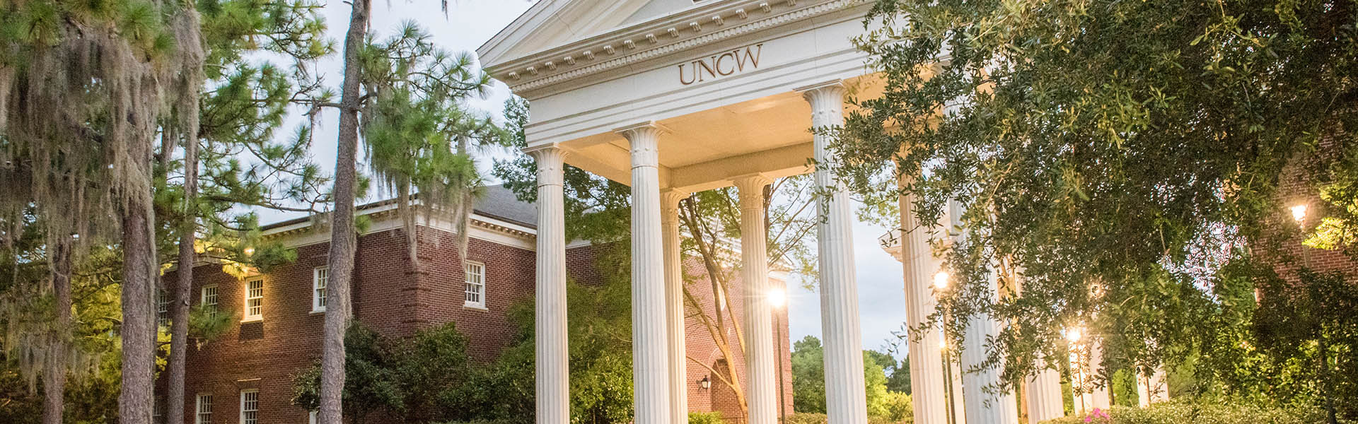
From humble beginnings in 1947 as Wilmington College, UNCW has evolved into a top doctoral and research institution with nearly 18,000 students and about 2,500 employees.
Here at the state’s coastal university, you’ll enjoy a powerful academic experience that stimulates creative inquiry, critical thinking and thoughtful expression in a beautiful setting.
Find an outstanding program to fit your strengths and prepare you to excel in our changing world.
Discover entertainment, involvement and engagement opportunities as a current Seahawk, alumnus, or community member. Plus, we offer a range of support and services. Explore all UNCW has to offer!
Delve deep into your interests through applied learning, where undergraduate and graduate students partner with faculty on high-quality research projects.
Get driving directions to the UNCW main campus. See everything we have to offer on our stunning campus via an interactive campus map. Explore the area!