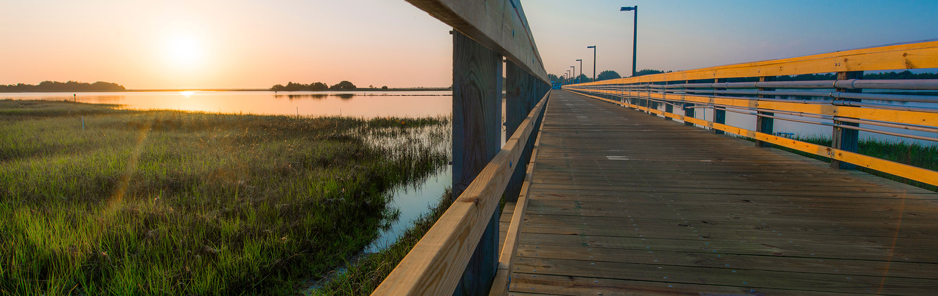

Department of Earth & Ocean Sciences
Our Degree Programs
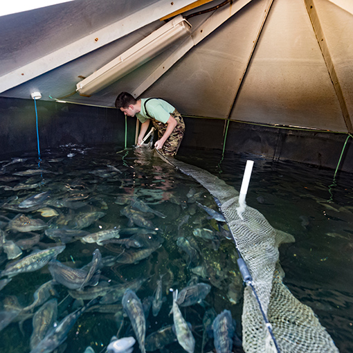
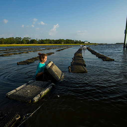
Want to See Your Education in Action?

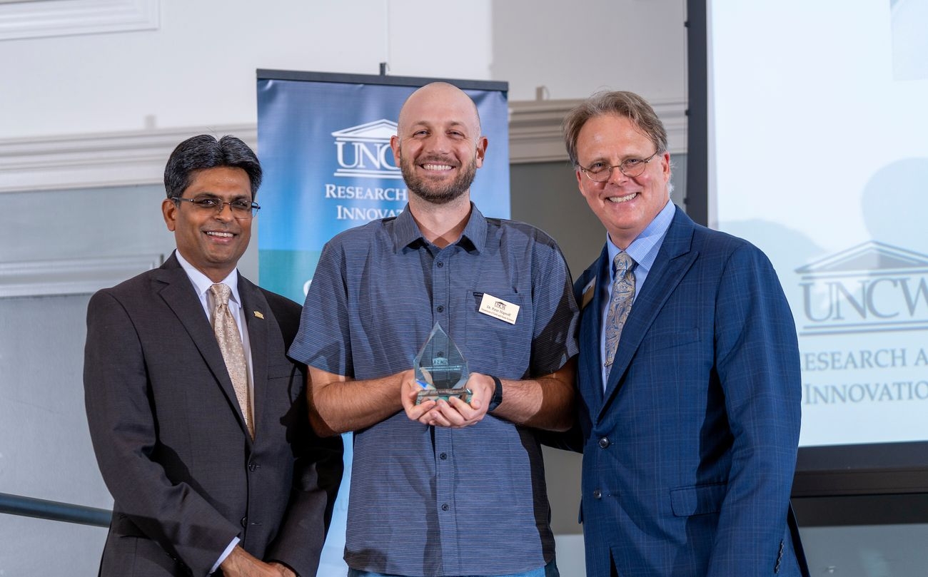

College & Department News
Contact Us
Department of Earth and Ocean Sciences
Phone: 910.962.3490
Fax: 910.962.7077
DeLoach Hall
601 S. College Road
Wilmington, NC 28403-5944